Log in
All resources
Create a design
147 Free Images of Maps Made In The 18th Century
atlantis magni tomus quintus (biblioteca comunale di trento)
les forces de l'europe, asie, afrique et amerique, ou description des principales villes, avec leurs fortifications
portolan charts made in the 18th century
maps in the rijksmuseum amsterdam
johann baptist homann
bibliothèque nationale de france
atlantis magni tomus tertius (biblioteca comunale di trento)
maps of spain by tomas lopez
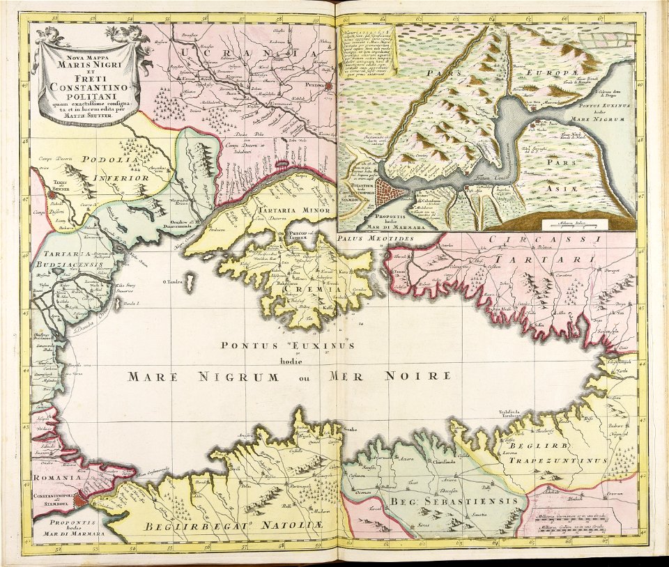
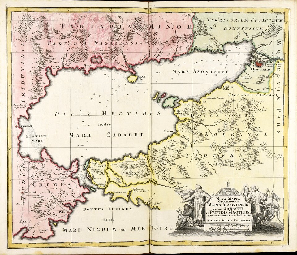
matthäus seutter
jeremias wolff
maps made in the 18th century
johann baptist homann
maps made in the 18th century
johann baptist homann
johann baptist homann
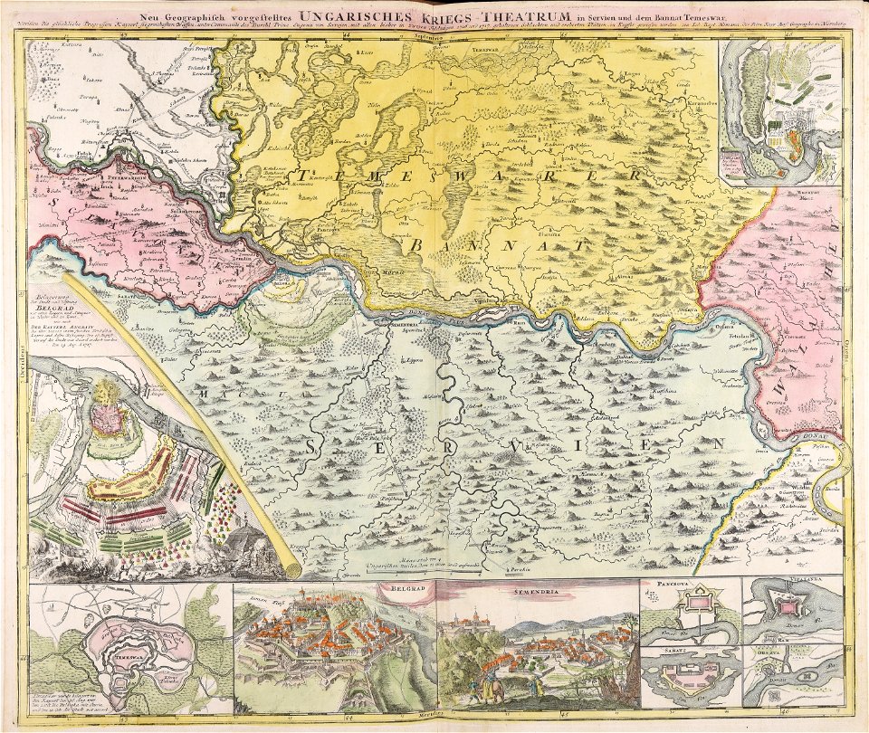
ungheria
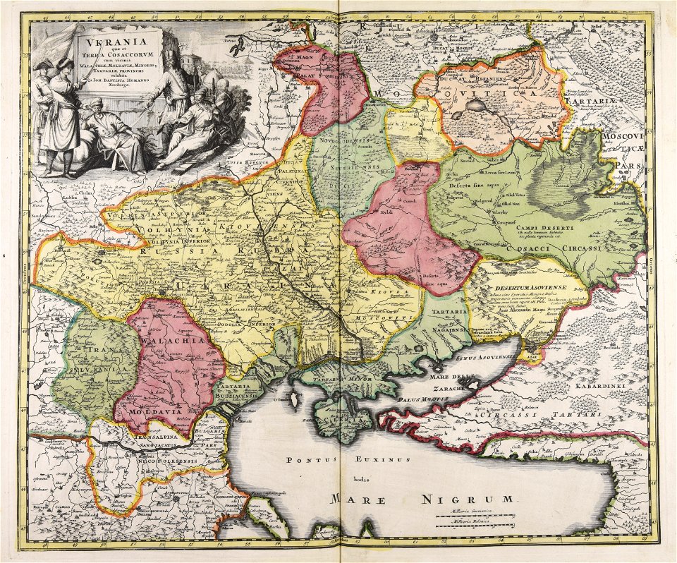
atlantis magni tomus quintus (biblioteca comunale di trento)
maps made in the 18th century
atlantis magni tomus quintus (biblioteca comunale di trento)
maps made in the 18th century
maps made in the 18th century
works by guillaume delisle
topographic maps made in 18th century
jeremias wolff
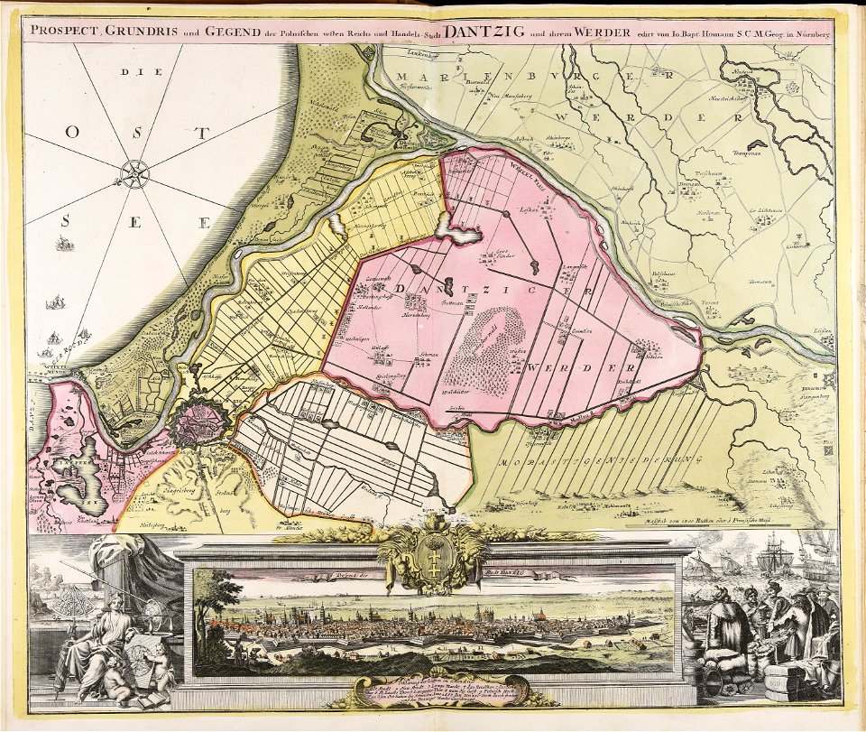
old maps of nuremberg
johann baptist homann
maps made in the 18th century
johann baptist homann
topographic maps made in 18th century
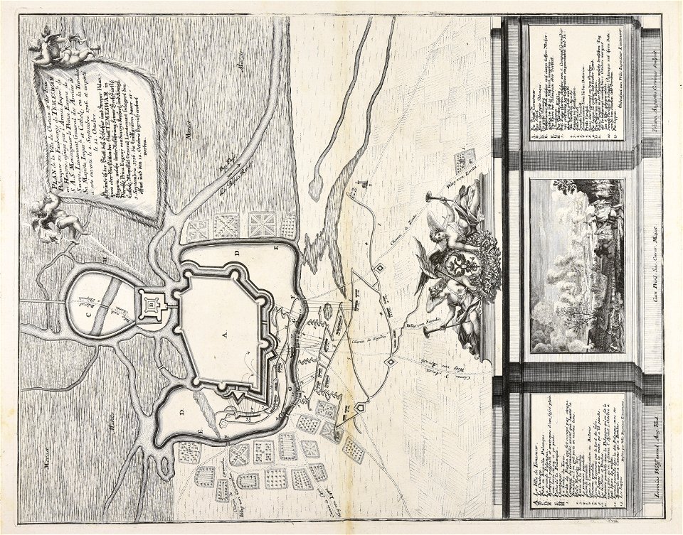
battaglia di malplaquet. 1709
maps made in the 18th century
jeremias wolff
maps made in the 18th century
johann baptist homann
topographic maps made in 18th century
jeremias wolff
maps made in the 18th century
johann baptist homann
old constellation maps
maps by samuel dunn
old maps of seville
1788 maps
old maps of seville
1788 maps of spain
maps by emanuel bowen
britannia depicta
athens in the ottoman era
old maps of athens
old maps of the viceroyalty of peru
old maps of peru
maps showing 18th-century history
maps made in the 18th century
old maps of the holy roman empire
maps made in the 18th century
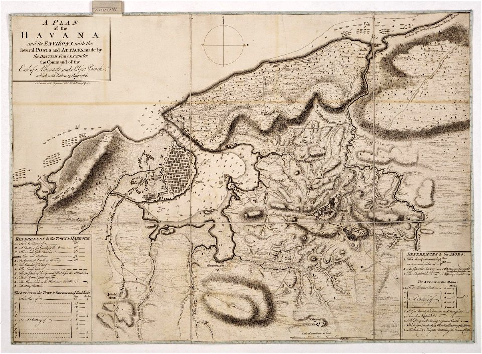
maps of the battle of havana
1762 in cuba
john spilsbury
puzzle maps
old maps of bouvet island
bouvet island
eran laor cartographic collection
pierre françois tardieu
spanish-language maps
1780s maps of panama
maps of the electorate of cologne
maps made in the 18th century
eran laor cartographic collection
william hughes (geographer)
old maps of the polish-lithuanian commonwealth
1790s maps of poland
maps of the kingdom of seville
maps of spain by tomas lopez
maps of the kingdom of seville
maps of spain by tomas lopez
maps of the kingdom of seville
maps of spain by tomas lopez
old maps of milan
antoine aveline
atlas géographique des quatre parties du monde (delisle)
18th-century double hemisphere world maps
1740s maps of the world
maps by emanuel bowen
atlas géographique des quatre parties du monde (delisle)
18th-century maps of africa
atlas géographique des quatre parties du monde (delisle)
18th-century maps of the world
mappe-monde geo-hydrographique (sanson and jaillot, 1674)
cartography of france
les forces de l'europe, asie, afrique et amerique, ou description des principales villes, avec leurs fortifications
maps of the history of poitou
les forces de l'europe, asie, afrique et amerique, ou description des principales villes, avec leurs fortifications
portolan charts made in the 18th century
les forces de l'europe, asie, afrique et amerique, ou description des principales villes, avec leurs fortifications
portolan charts made in the 18th century
les forces de l'europe, asie, afrique et amerique, ou description des principales villes, avec leurs fortifications
portolan charts made in the 18th century
les forces de l'europe, asie, afrique et amerique, ou description des principales villes, avec leurs fortifications
portolan charts made in the 18th century
les forces de l'europe, asie, afrique et amerique, ou description des principales villes, avec leurs fortifications
portolan charts made in the 18th century
les forces de l'europe, asie, afrique et amerique, ou description des principales villes, avec leurs fortifications
portolan charts made in the 18th century
les forces de l'europe, asie, afrique et amerique, ou description des principales villes, avec leurs fortifications
portolan charts made in the 18th century
101 - 147 of 147
/ 2